| Schwierigkeit |
mittel
|
|
Aufstieg
|
23234 hm |
|
Abstieg
|
24565 hm |
| Tiefster Punkt | 704 m |
| Höchster Punkt | 2807 m |
|
Dauer
|
219:58 h |
|
Strecke
|
416,8 km |
Via Alpina Red Trail | ITALY

Quelle: EVAdinarica Project, Autor: EVA dinarica
Die Tour
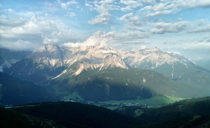
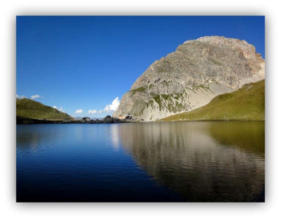
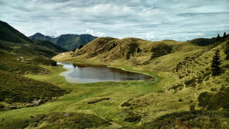
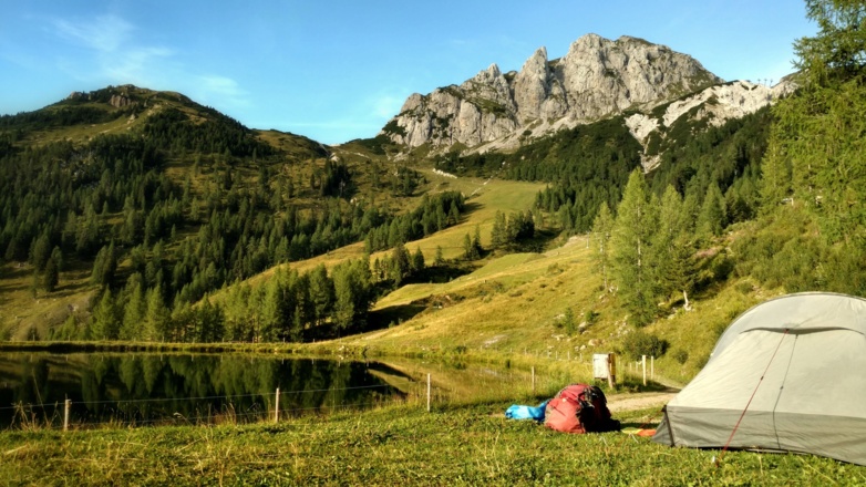
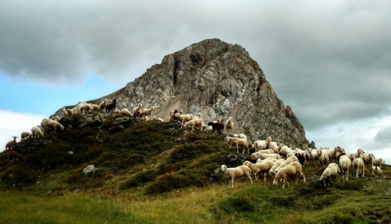
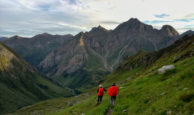
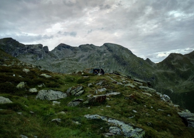
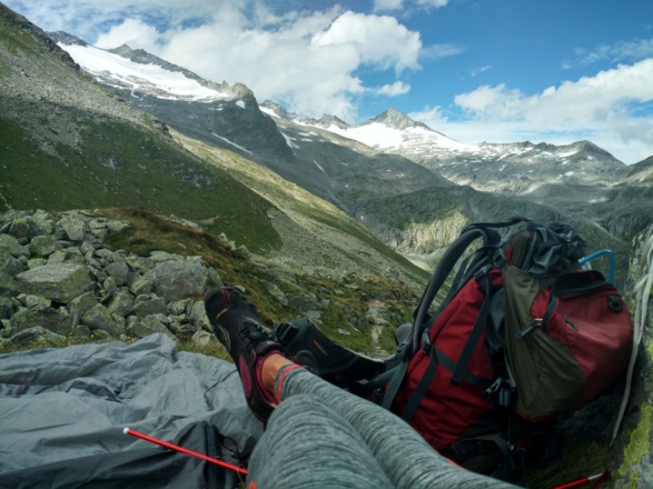
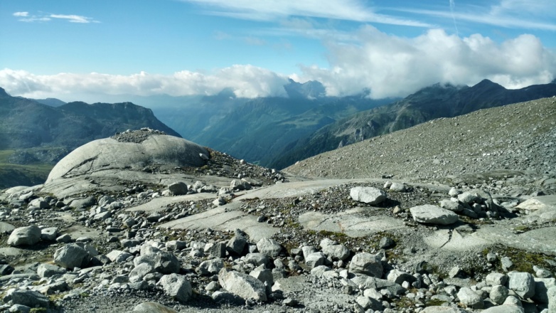
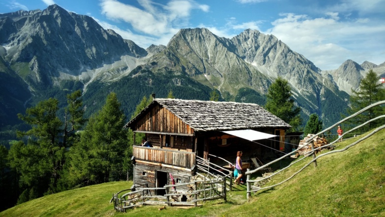
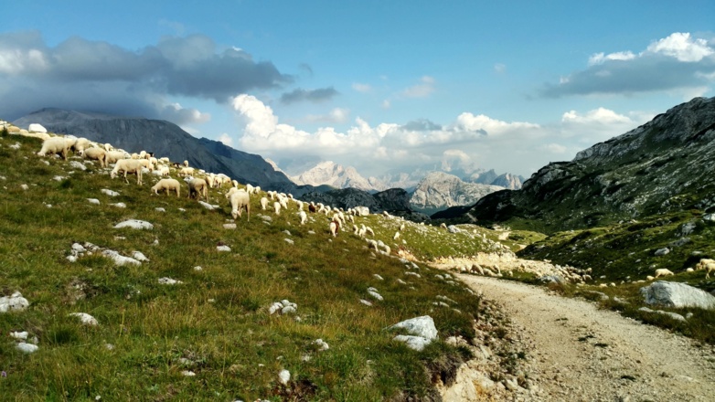
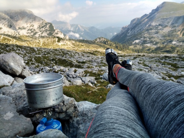
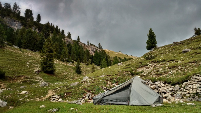
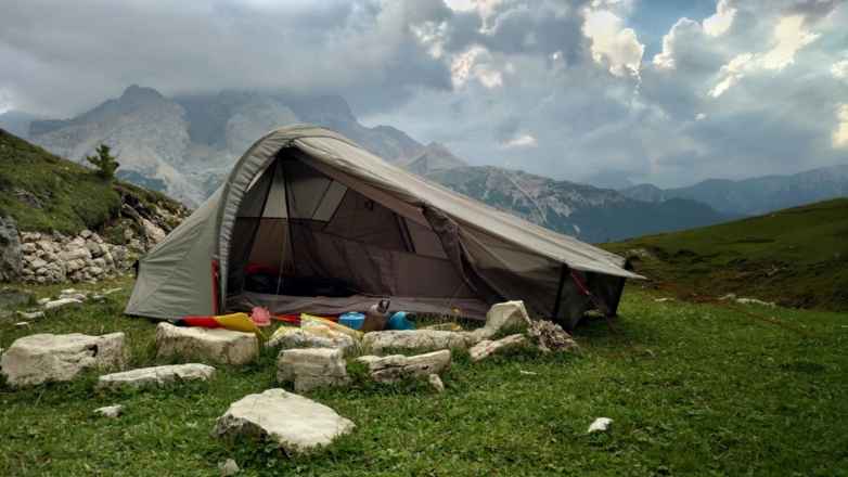
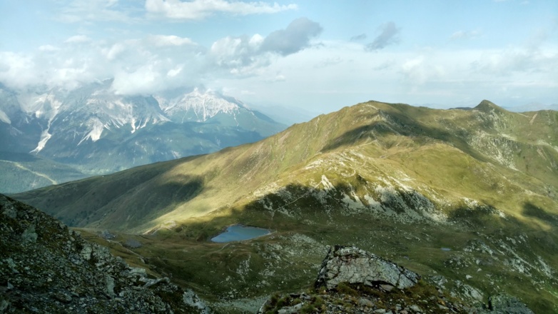
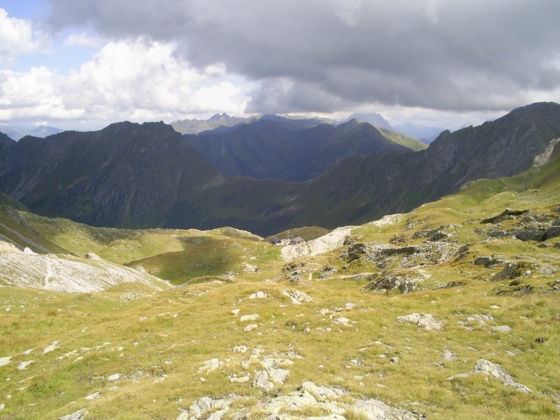
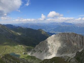
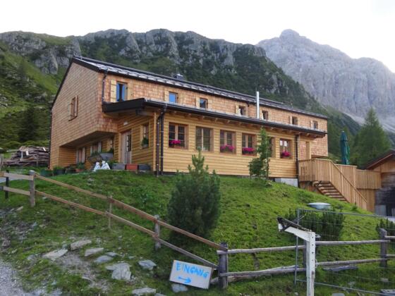
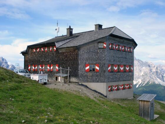
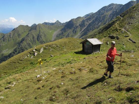
Part of my hikingtrip from Amsterdam to Sarajevo, this is the Via Alpina Red Trail through the Italian Alps. On the Via Alpina I kept on crossing borders. Italy, Austria, Italy, Austria. The trail follows the mountains and well, nature does not know borders. Borders are often formed by nature, but I could hardly see the differences. So, I “filed” this part under “Italy”, but parts of this traject actually were in Austria.
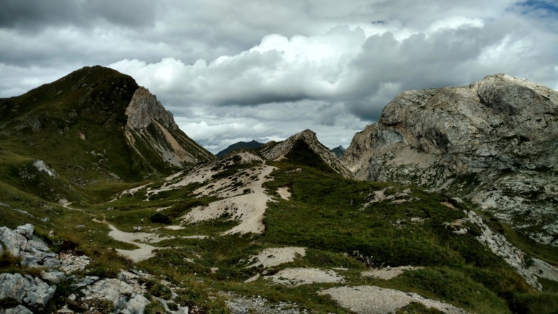
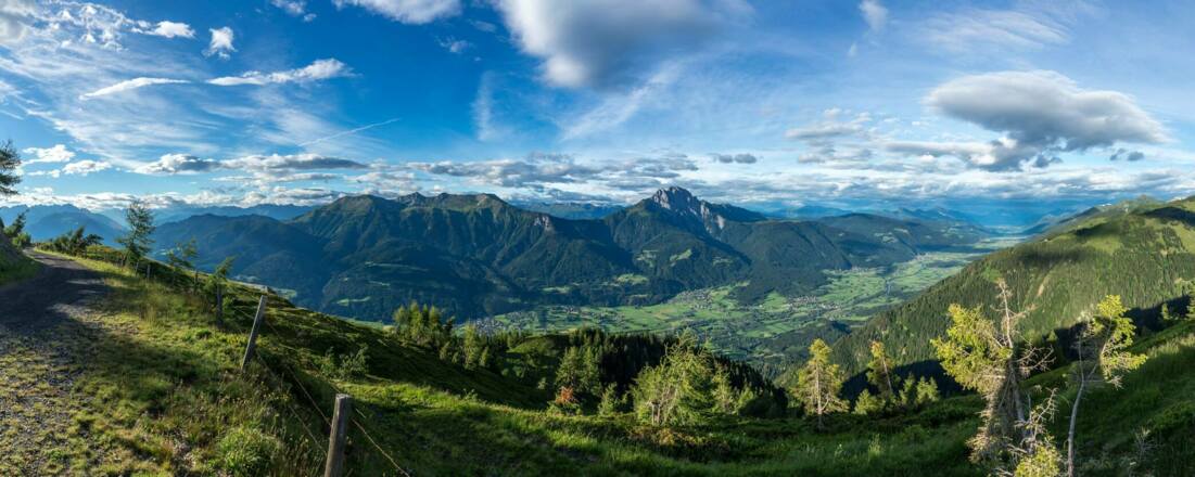
The Italian Alps are versatile, the Via Alpina leads you through one National Park after the other.
Complete list with daystages: Walking from Amsterdam to Sarajevo
My complete tours on Outdooractive:
For stories about my hike, check out my blog EVAdinarica Project.
Autorentipp
.
Info
Karte
Details
|
Kondition
|
|
|
Erlebnis
|
|
|
Landschaft
|
|
| Technik |
Beste Jahreszeit
Wegbeschreibung
Weg
For more information check this link: http://www.via-alpina.org/en/page/237/the-red-trail
Weitere Informationen
Stories on my BLOG:
Ausrüstung
GPS
Sicherheitshinweise
Although the route is well marked, a GPS makes it so much easier ánd lighter, because you can leave the maps and guide book at home.

